Improved Post-Disaster Building Assessment from UAV Inspection Images by Integrating Adaptive Patch Vision Transformer
DOI:
https://doi.org/10.64972/jaat.2024v2.325p30e:413-426Keywords:
Adaptive Patch Vision Transformer, UAV Remote Sensing, Building Damage Assessment, Disaster Response, Hierarchical Token AggregationAbstract
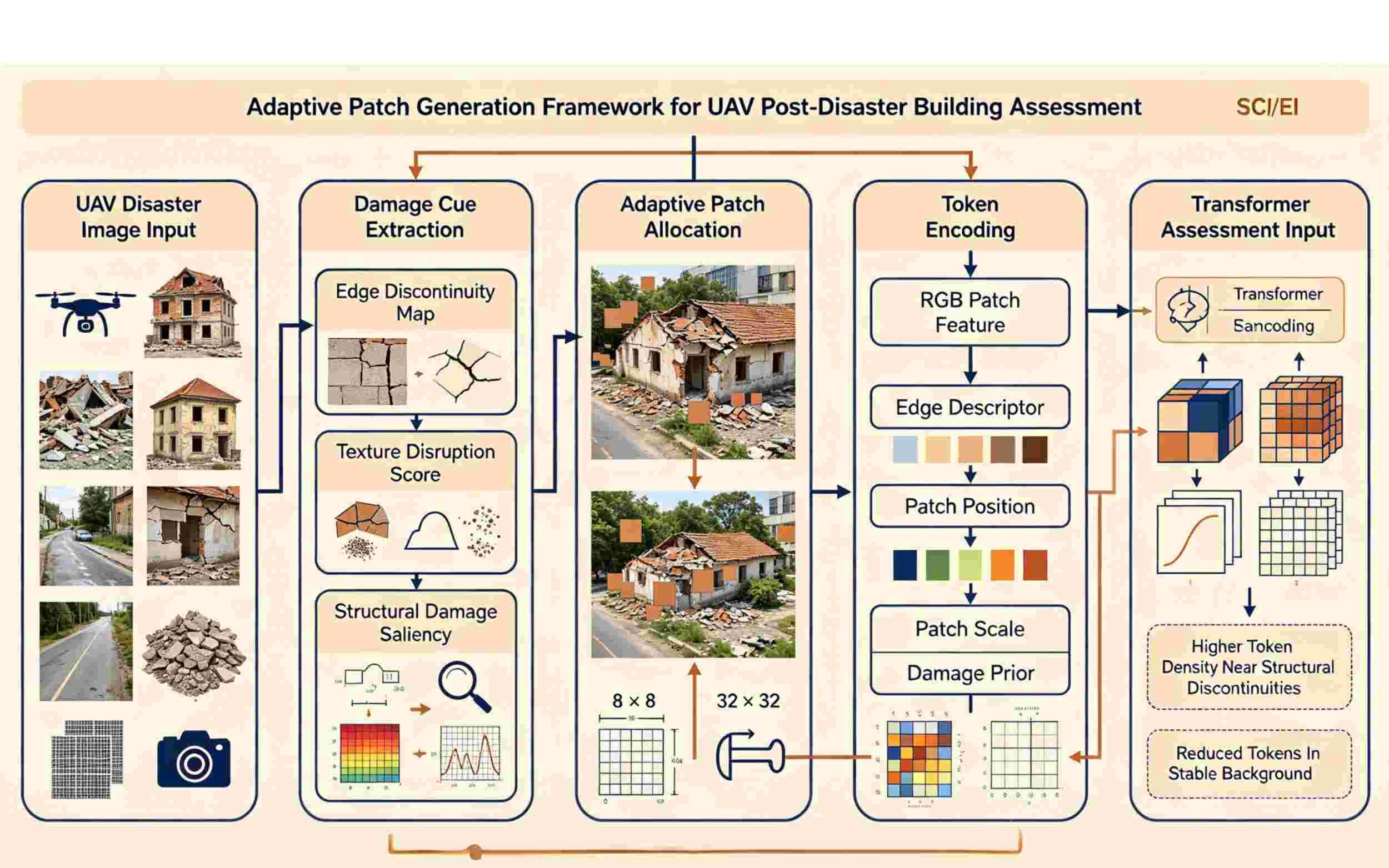
Unmanned aerial vehicle (UAV) inspection photos used for rapid post-disaster building evaluation must properly identify structural damage under various imaging settings. The long-distance spatial linkages between roofs, walls, trash, shadows, and nearby facilities are typically overlooked by the earlier convolutional techniques, despite their effectiveness in capturing local texture. While standard Vision Transformer models enhance global reasoning, they employ fixed patch partitioning, which might lead to the fragmentation of tiny damaged regions or the introduction of duplicate tokens from the background. creation of a damage-adaptive vision transformer model for building assessment using UAV images. The model creates adaptive patches with various spatial resolutions after first predicting the local visual complexity and damage likelihood. Roof-level, building-level, and block-level context will be combined via a three-tier Token aggregation module. The distinction between undamaged, moderately damaged, severely damaged, and collapsed structures is further improved by a disaster-aware classification head. Accuracy, macro-F1, recall of high-risk damage, computational cost, and cross-disaster resilience are the foundations of quantitative appraisal. The new framework is still appropriate for emergency UAV inspection scenarios and can accurately detect damage.
Downloads
Published
How to Cite
Issue
Section
License
Copyright (c) 2024 Hsiao-ting Yeh, Yi-wen Tseng, Shu-chun Kuo

This work is licensed under a Creative Commons Attribution-NonCommercial-ShareAlike 4.0 International License.