Quantum-Assisted Data Compression for High-Dimensional Satellite Data
DOI:
https://doi.org/10.64972/dea.2025.v4i3.2964d:41-55Keywords:
High-Dimensional Satellite Data, Quantum-Assisted Compression, Hyperspectral Remote Sensing, Feature RepresentationAbstract
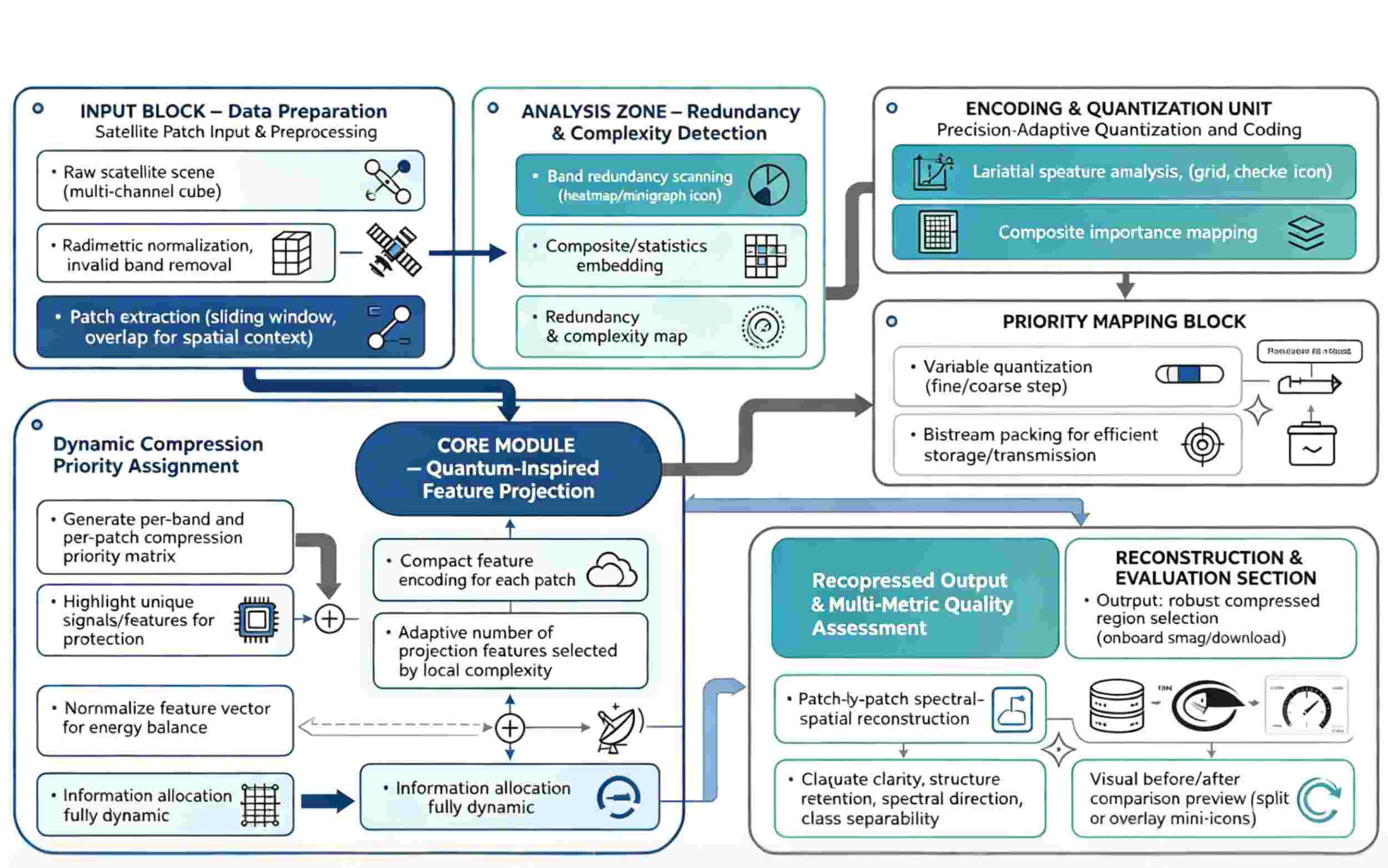
High-dimensional satellite data provide all-weather, all-season assistance for Earth observation, environmental monitoring, disaster relief, and intelligent remote sensing interpretation. They include various spectra, hyperspectral information, geographical and temporal dimensions, context, etc. However, there is currently a significant storage pressure, transmission latency, and computing overhead because of the quick expansion of spectral bands, spatial resolution, and continuous observation frequency. This research proposes a quantum-assisted data compression framework for high-dimensional satellite data. Reconstruction-aware compression optimization, adaptive low-rank projection, spectral-spatial redundancy modeling, and quantum-inspired feature representation are the methods used. In order to reduce the number of dimensions while maintaining the original data's discriminative spectral structure and spatial correlation, a comparatively compact feature map approach is suggested. Simulated hyperspectral and multispectral satellite data are analyzed experimentally. The findings show that the suggested approach maintains a reconstruction accuracy of more than 94.2% while reducing the storage size by 68.5% and increasing the compression ratio over that of conventional principal component analysis by 21.3%. This research demonstrates how quantum-assisted representation can improve satellite data compression efficiency while preserving crucial remote-sensing properties.
Downloads
Published
How to Cite
Issue
Section
License
Copyright (c) 2025 Frane Malenica, Emanuel Gabrijel Bošnjak

This work is licensed under a Creative Commons Attribution-NonCommercial-ShareAlike 4.0 International License.